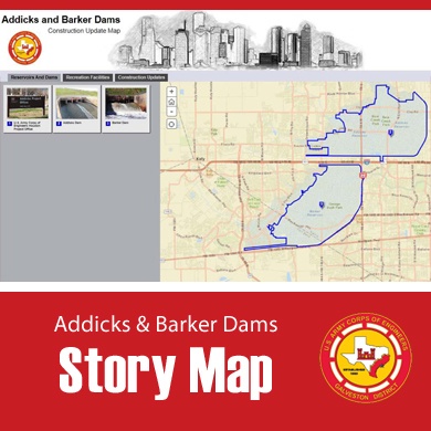
Residents will soon be able to track construction schedules, detours and upcoming events related to the Addicks and Barker dams’ safety modification project thanks to story map technology located online at http://geospatial.swf.usace.army.mil/AddicksBarker2/index.html.
| Date Taken: | 10.02.2014 |
| Date Posted: | 10.02.2014 12:47 |
| Photo ID: | 1592108 |
| VIRIN: | 141002-O-EO391-036 |
| Resolution: | 390x390 |
| Size: | 146.28 KB |
| Location: | GALVESTON, TEXAS, US |
| Web Views: | 91 |
| Downloads: | 1 |

This work, District launches online Addicks and Barker construction story map, by LCDR Sandra Arnold, identified by DVIDS, must comply with the restrictions shown on https://www.dvidshub.net/about/copyright.