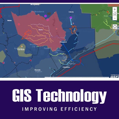
The U.S. Army Corps of Engineers Galveston District implemented the ESRI Operation Dashboard, a geographic information system (GIS) tool, that allows Corps employees, partners and the community to monitor water levels throughout the district’s area of operation along the Texas coast.
| Date Taken: | 06.01.2015 |
| Date Posted: | 06.01.2015 15:57 |
| Photo ID: | 1968442 |
| VIRIN: | 150601-A-IR999-001 |
| Resolution: | 390x390 |
| Size: | 83.03 KB |
| Location: | GALVESTON, TEXAS, US |
| Web Views: | 89 |
| Downloads: | 3 |

This work, USACE Galveston District implements ESRI Operation Dashboard to monitor water levels, must comply with the restrictions shown on https://www.dvidshub.net/about/copyright.