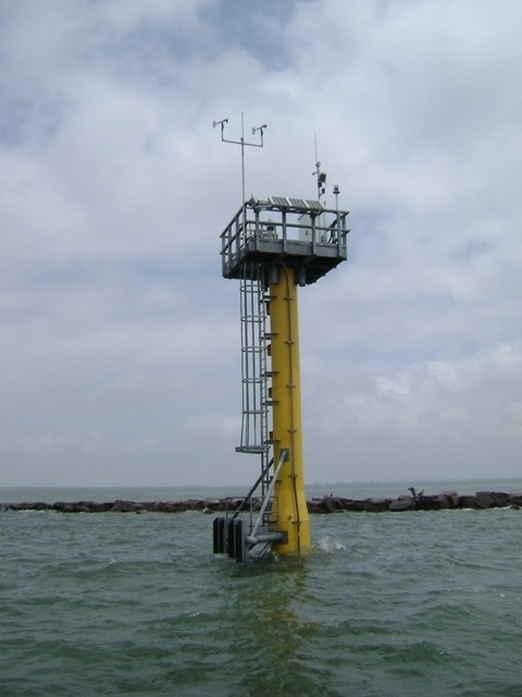
A tidal station at the Galveston North Jetty, rated to withstand the effects of a category 4 hurricane, is one of 31 stations located between South Padre Island and the Sabine and Neches rivers, which aids the U.S. Army Corps of Engineers Galveston District in keeping federal waterways open for navigation as part of the Texas Coastal Ocean Observation Network.
| Date Taken: | 04.21.2011 |
| Date Posted: | 07.18.2012 19:36 |
| Photo ID: | 627580 |
| VIRIN: | 071812-A-0000S-003 |
| Resolution: | 480x640 |
| Size: | 126.48 KB |
| Location: | GALVESTON, TEXAS, US |
| Web Views: | 20 |
| Downloads: | 0 |

This work, USACE Galveston District multi-agency partnership, technology keeps commerce moving along the Texas coast, must comply with the restrictions shown on https://www.dvidshub.net/about/copyright.