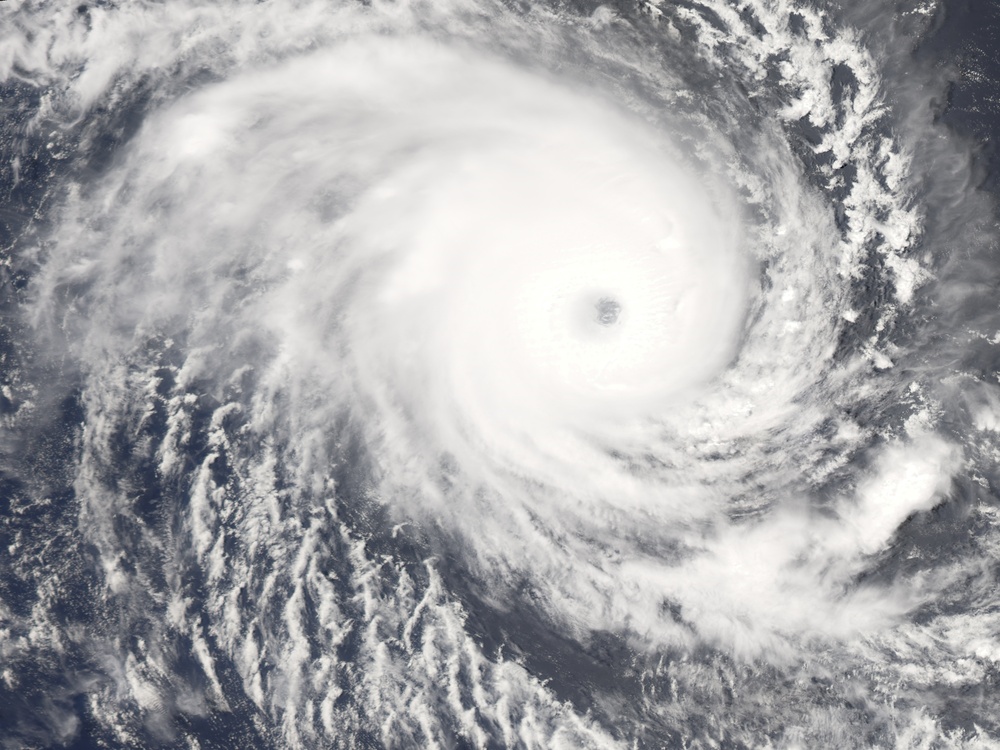
Cyclone Hondo was a powerful Category 4 storm when the Moderate Resolution Imaging Spectroradiometer ( modis.gsfc.nasa.gov MODIS ) on NASA's aqua.nasa.gov/ Aqua satellite captured this photo-like image on the afternoon of February 7, 2008. The storm's power is evident in its symmetric shape and well-defined eye. When MODIS took the image at 7:55 UTC, Hondo had winds of 220 kilometers per hour (140 miles per hour or 120 knots) with gusts to 270 km/hr (170 mph or 145 knots), said the https://metocph.nmci.navy.mil/jtwc.php Joint Typhoon Warning Center. The storm was traveling southeast across the southern Indian Ocean, far from any populated region.
NASA image created by Jesse Allen, using data provided courtesy of the rapidfire.sci.gsfc.nasa.gov/ MODIS Rapid Response team. Caption by Holli Riebeek.
| Date Taken: | 08.03.2011 |
| Date Posted: | 10.19.2012 18:19 |
| Photo ID: | 760329 |
| Resolution: | 4000x3000 |
| Size: | 4.66 MB |
| Location: | WASHINGTON, DISTRICT OF COLUMBIA, US |
| Web Views: | 10 |
| Downloads: | 0 |
