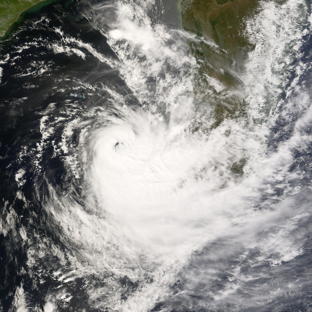
Tropical Cyclone Jokwe grazed along the southern coast of Madagascar on the morning of March 11, 2008, when it was observed by the Moderate Resolution Imaging Spectroradiometer ( modis.gsfc.nasa.gov MODIS ) on NASA's terra.nasa.gov/ Terra satellite. Days before, the tropical cyclone careened back and forth on a curved arc down the Mozambique Channel between mainland Africa and Madagascar, bringing strong winds and rain to both Madagascar and coastal Mozambique.
MODIS acquired this image on March 11 at 10:35 a.m. local time (7:35 UTC). In this photo-like view, Cyclone Jokwe is a small but tightly wound spiral off the south-western coast of Madagascar, with a distinct but cloud-filled (''closed'') eye. According to the https://metocph.nmci.navy.mil/jtwc.php Joint Typhoon Warning Center, Jokwe had sustained winds of around 150 kilometers per hour (90 miles per hour), very roughly the same as it had been for the previous five days. However, as of March 11, forecasters were expecting the storm to weaken as it cleared the southern end of Madagascar and traveled over cooler waters.
NASA image and caption by Jesse Allen, using data provided courtesy of the rapidfire.sci.gsfc.nasa.gov/ MODIS Rapid Response team.
| Date Taken: | 08.03.2011 |
| Date Posted: | 02.08.2013 07:36 |
| Photo ID: | 840158 |
| Resolution: | 6000x6000 |
| Size: | 4.51 MB |
| Location: | WASHINGTON, D.C., US |
| Web Views: | 6 |
| Downloads: | 1 |
