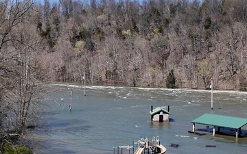
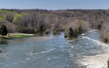
As the recreation season approaches, the U.S. Army Corps of Engineers, Louisville District is providing an update regarding USACE-managed recreation areas in the Green River Area (including Nolin River, Rough River, Barren River, and Green River lakes) as it pertains to the recent high-water event.
In coordination with Great Parks, the U.S. Army Corps of Engineers Louisville District will be conducting dam maintenance activities at West Fork Lake (better known locally as Winton Woods Lake) in Cincinnati, Ohio’s village of Greenhills, which will impact recreation for lake visitors. These activities are scheduled to begin Aug. 1 and last through November 2025.
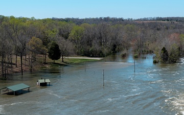
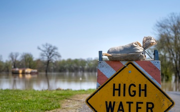
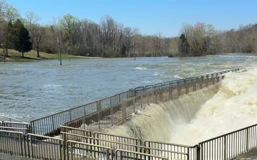
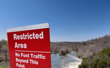
Barren River Lake in Glasgow, Kentucky, has set a record high pool as of today, April 7, 2025. As of 6:00 a.m., Barren River Lake was at 583.6 feet MSL (mean sea level) and utilizing 81 percent of flood storage, and still rising. The previous record was set 36 years ago in March 1989 when the pool reached 583 feet MSL.
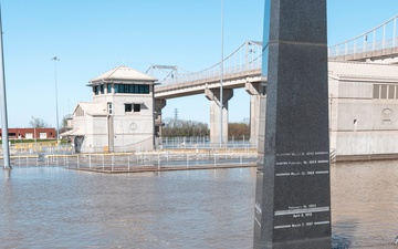
Locking operations at Markland Locks and Dam (Ohio River Mile 531.5) have been suspended due to high water. At McAlpine Locks and Dam (Ohio River Mile 606.8), the south (landside) chamber has ceased operations, and the north chamber is expected to close by the evening of Sunday, April 6, 2025. Additional impacts are expected downstream as river levels rise. A full summary of projected impacts at the district’s seven locks and dams on the...
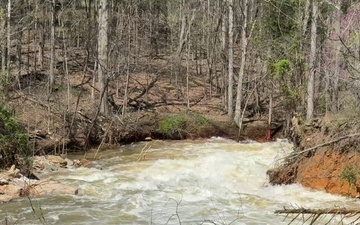
The U.S. Army Corps of Engineers Louisville District is actively monitoring water levels at reservoirs in the Green River Area, including Barren River, Green River, and Nolin River lakes, following significant rainfall over the last 48-72 hours. Each of the reservoirs still have flood storage capacity to manage additional runoff and reduce downstream flooding risks. These reservoirs are part of a broader system managed by USACE, designed to...
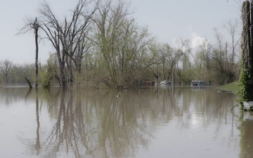
As water levels continue to rise in Rough River Lake, Falls of Rough, Kentucky, the U.S. Army Corps of Engineers Louisville District has developed the Rough River Lake Viewer—an inundation map for residents and emergency planners to enhance community preparedness. USACE is working with local and state emergency operation managers to keep people who may be affected by this situation safe and informed. This new publicly accessible interactive...