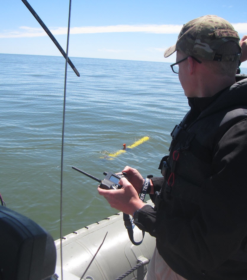
Fleet Survey Team Survey Technician AG2 Jesse Osborne operates an Iver3 unmanned system via radio frequency remote during compass calibration mission in the Gulf of Mexico in preparation for bathymetric data collection in support of Naval Oceanography Unmanned Systems Operational Demonstration Humanitarian Assistance/Disaster Relief support scenario.
| Date Taken: | 05.19.2017 |
| Date Posted: | 05.30.2017 16:59 |
| Photo ID: | 3433504 |
| VIRIN: | 170519-N-LS434-025 |
| Resolution: | 834x943 |
| Size: | 130.63 KB |
| Location: | STENNIS SPACE CENTER, MISSISSIPPI, US |
| Web Views: | 50 |
| Downloads: | 9 |

This work, NAVAL OCEANOGRAPHY DEMONSTRATES CAPABILITIES IN THE GULF OF MEXICO [Image 4 of 4], by Kaley Turfitt, identified by DVIDS, must comply with the restrictions shown on https://www.dvidshub.net/about/copyright.