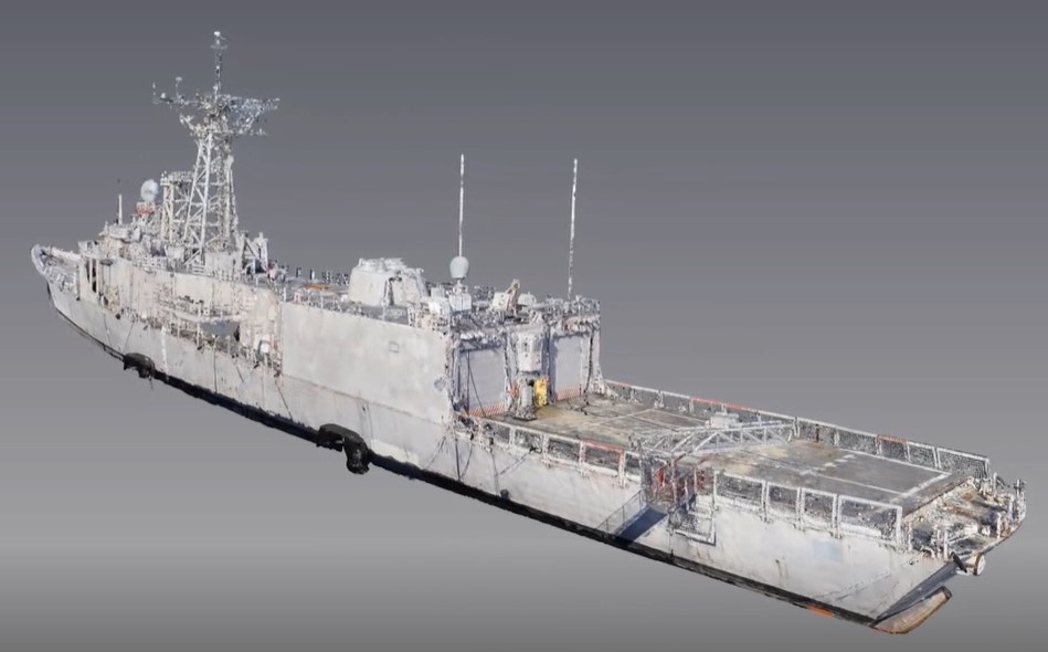
Naval Surface Warfare Center, Philadelphia Division Advanced Data Acquisition Prototyping Technology Virtual Environments (ADAPT.VE) engineers and scientists are testing new applications for light detection and ranging (LiDAR) to build 3D ship models aboard decommissioned ships at the Philadelphia Navy Yard. The concept will demonstrate value of 3D scanning for battle damage assessment and repair and assess the ability for operational unmanned aerial systems (UAS) in theatre to fill critical roles. (U.S. Navy Illustration by James Case/Released)
| Date Taken: | 08.30.2022 |
| Date Posted: | 08.30.2022 11:04 |
| Photo ID: | 7394207 |
| VIRIN: | 220830-N-EX830-0003 |
| Resolution: | 949x590 |
| Size: | 69.84 KB |
| Location: | US |
| Web Views: | 221 |
| Downloads: | 10 |

This work, Robot Dogs and Drones 3D Mapping ‘Ghost Ships’ with Laser-based Sensors [Image 3 of 3], must comply with the restrictions shown on https://www.dvidshub.net/about/copyright.