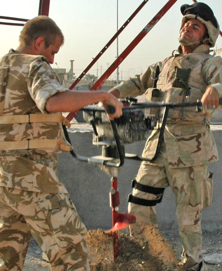
Sgt. Motaz Mostafa, 175th Engineer Company, 20th Engineer Brigade, Fort Bragg, N.C., and British Lance Cpl. Neil Dicken, 42nd Engineer Regiment, Royal Engineers, Hermitage, England, use an earth auger to prepare the ground for the installation of a reference point in a High Accuracy Reference Network. The Soldiers are part of team of British and American army engineers assigned to Multi-National Corps - Iraq who is installing HARNs throughout various locations in Iraq. The HARNs are part of the first Iraqi Geospatial Reference System, which identifies geospatial locations using names or numeric coordinates.
| Date Taken: | 11.07.2006 |
| Date Posted: | 08.15.2005 19:36 |
| Photo ID: | 8679 |
| Resolution: | 711x866 |
| Size: | 167.78 KB |
| Location: | IQ |
| Web Views: | 142 |
| Downloads: | 27 |

This work, Multi-National Surveyors 3 [Image 6 of 6], must comply with the restrictions shown on https://www.dvidshub.net/about/copyright.