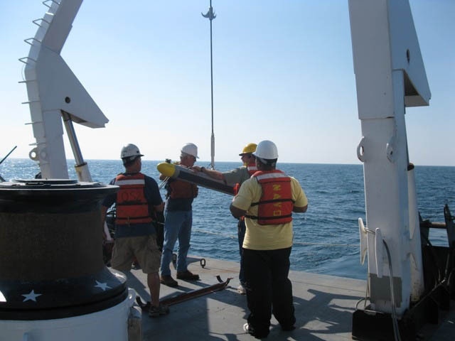
The Naval Oceanographic Office's Mine Warfare department personnel prepare to launch a sidescan sonar towfish in the Arabian Gulf from the USNS MARY SEARS. The towfish will map the ocean floor with a high resolution side scan sonar. These data will be processed into environmental data bases to support fleet operations and exercises.
| Date Taken: | 01.12.2010 |
| Date Posted: | 05.09.2014 07:00 |
| Photo ID: | 1323709 |
| VIRIN: | 100125-N-FT411-002 |
| Resolution: | 640x480 |
| Size: | 65.52 KB |
| Location: | AT SEA |
| Web Views: | 60 |
| Downloads: | 5 |

This work, Mapping ocean [Image 121 of 121], must comply with the restrictions shown on https://www.dvidshub.net/about/copyright.