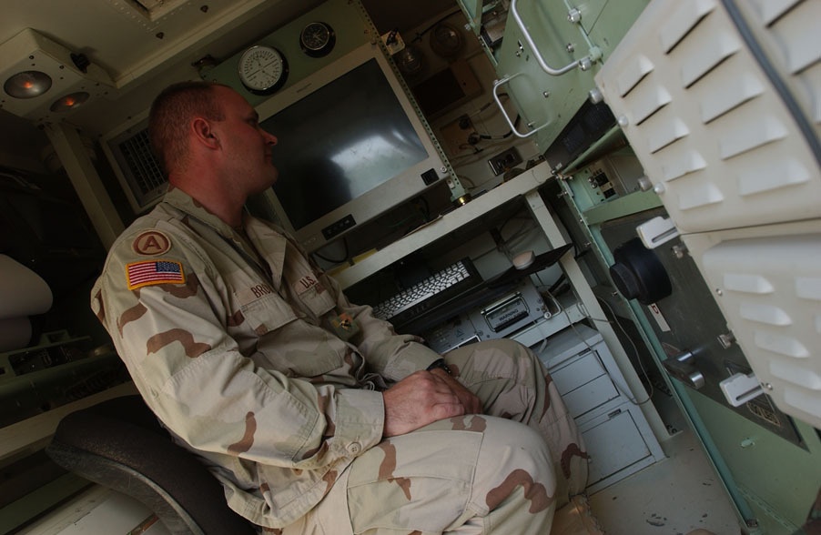
Sgt. Eric Brown, the 123rd Engineering Detachments platoon Sgt monitors as hard drive banks used to store information needed to create maps for use by the 39th BCT come to life. All of the topographical information and street names come from NIMA, said the Upland, Ind native, we use the information they provide to then include things like FOB (Forward Operating Base) names, Route names, brigade boundaries, things like that.
(US Army Photo by Cpl Benjamin Cossel, 122nd MPAD)
| Date Taken: | 10.05.2004 |
| Date Posted: | 10.13.2004 11:57 |
| Photo ID: | 1643 |
| Resolution: | 902x588 |
| Size: | 122.25 KB |
| Location: | TAJI, IQ |
| Web Views: | 119 |
| Downloads: | 21 |

This work, Helping Soldiers Find Their Way [Image 3 of 3], by SFC Benjamin Cossel, identified by DVIDS, must comply with the restrictions shown on https://www.dvidshub.net/about/copyright.