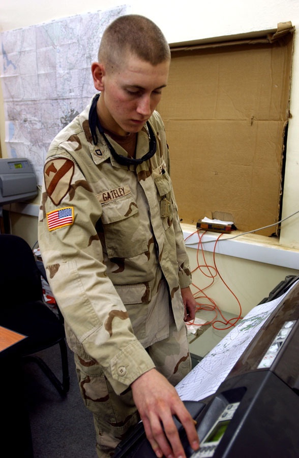
PFC Richard Gateley watches as an Arc Digitized Raster Graphic (ADRG) map is produced using a Hewlet Packard DesignJet 1055CM series printer. The printer can produce maps up to 36 inches x 106 inches that are then used by Battle Staff to plan operations and provide an overview of operations.
(US Army photo by Cpl. Benjamin Cossel, 122nd MPAD)
| Date Taken: | 10.05.2004 |
| Date Posted: | 10.13.2004 11:59 |
| Photo ID: | 1645 |
| Resolution: | 588x902 |
| Size: | 133.24 KB |
| Location: | TAJI, IQ |
| Web Views: | 163 |
| Downloads: | 25 |

This work, Helping Soldiers Find Their Way [Image 3 of 3], by SFC Benjamin Cossel, identified by DVIDS, must comply with the restrictions shown on https://www.dvidshub.net/about/copyright.