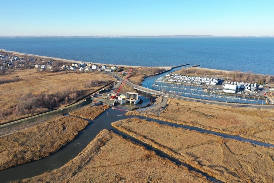
Aerial of the Port Monmouth Flood Risk Management Project. In the center is the flood gate and pump station. December 2019. Credit: Charles Rogers.
| Date Taken: | 09.24.2020 |
| Date Posted: | 09.24.2020 13:02 |
| Photo ID: | 6361576 |
| VIRIN: | 220920-D-CR197-008 |
| Resolution: | 960x639 |
| Size: | 126.79 KB |
| Location: | PORT MONMOUTH, NEW JERSEY, US |
| Web Views: | 222 |
| Downloads: | 3 |

This work, Aerial of the Port Monmouth Flood Risk Management Project [Image 9 of 9], by Hector Mosley, identified by DVIDS, must comply with the restrictions shown on https://www.dvidshub.net/about/copyright.