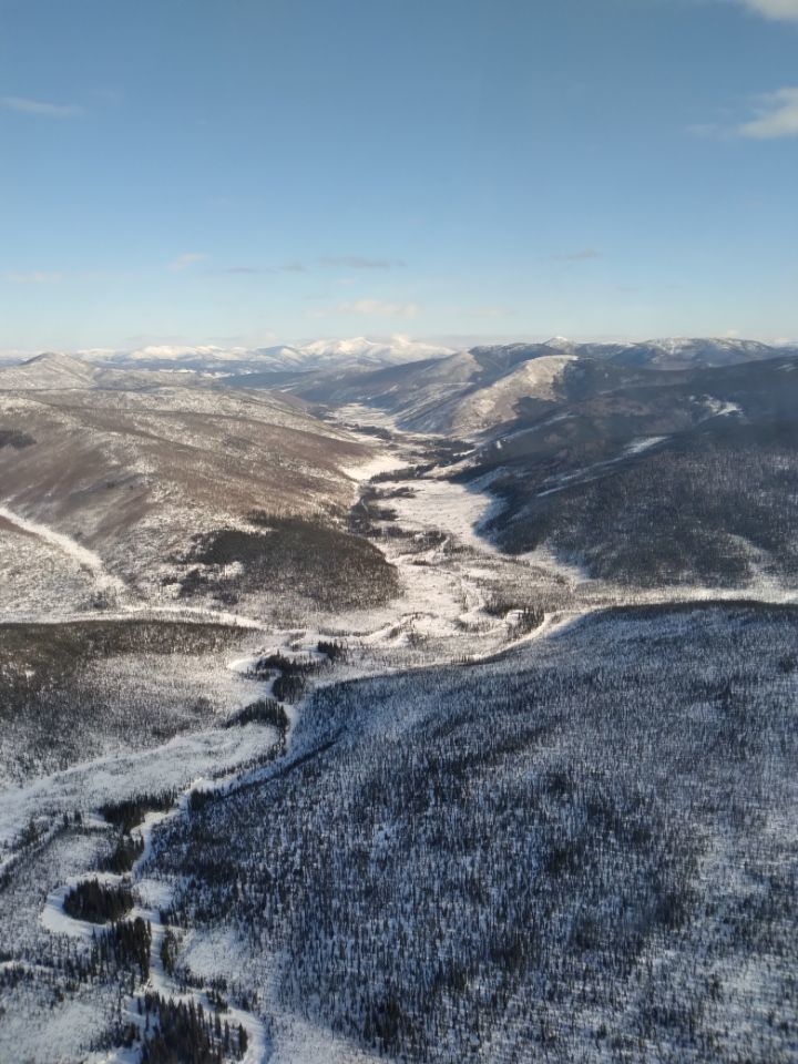
The U.S. Army Corps of Engineers – Alaska District partners with the U.S. Department of Agriculture’s Natural Resources Conservation Service to measure winter snowfall levels and collect additional data from nine monitoring stations in the Chena River basin. The agencies analyze this information to estimate the volume of runoff when the snowpack melts in the mountains. Shown here is an aerial image of the basin near Pleasant Valley and Munson Ridge on March 30. (Photo by Rosie Duncan, USACE- Alaska District)
| Date Taken: | 03.30.2022 |
| Date Posted: | 05.17.2022 19:11 |
| Photo ID: | 7202318 |
| VIRIN: | 220517-A-A1410-1001 |
| Resolution: | 720x960 |
| Size: | 124.07 KB |
| Location: | FAIRBANKS, ALASKA, US |
| Hometown: | FAIRBANKS, ALASKA, US |
| Web Views: | 23 |
| Downloads: | 3 |

This work, Chena River basin [Image 4 of 4], must comply with the restrictions shown on https://www.dvidshub.net/about/copyright.