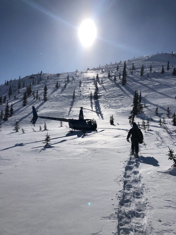
The interagency team traveled twice by helicopter on March 30 and again April 30 to assess the latest snow conditions at the remote sites. Spread out over about 1,500 square miles, the water contained in the melting snowpack, known as snow water equivalent, will eventually flow into the Chena River and pass-through downtown Fairbanks. Shown here, one of the scientists hikes back to their helicopter ride March 30. (Courtesy Photo)
| Date Taken: | 03.30.2022 |
| Date Posted: | 05.17.2022 19:11 |
| Photo ID: | 7202319 |
| VIRIN: | 220517-A-A1410-1002 |
| Resolution: | 600x800 |
| Size: | 114.38 KB |
| Location: | FAIRBANKS, ALASKA, US |
| Hometown: | FAIRBANKS, ALASKA, US |
| Web Views: | 36 |
| Downloads: | 6 |

This work, Chena River basin monitoring [Image 4 of 4], must comply with the restrictions shown on https://www.dvidshub.net/about/copyright.