170825-N-N0101-500
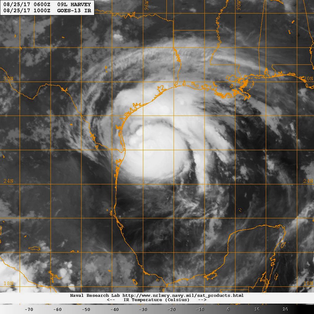
GULF OF MEXICO (Aug. 25, 2017) An infrared satellite image of Hurricane Harvey, a category 2 hurricane on the Saffir-Simpson scale. Harvey is moving toward the northwest near 9 mph (15 km/h), and this general motion is expected to continue during the next couple of days. On the forecast track, Harvey will make landfall on the middle Texas coast tonight or early Saturday. Harvey is then likely to meander near or just inland of the middle Texas coast through the weekend. Maximum sustained winds are near 105 mph (165 km/h) with higher gusts. Some strengthening is possible, and Harvey is expected to become a major hurricane before it reaches the middle Texas coast. Hurricane-force winds extend outward up to 25 miles (35 km) from the center and tropical-storm-force winds extend outward up to 140 miles (220 km). The minimum central pressure reported by NOAA and Air Force planes was 967 mb (28.56 inches). (U.S. Navy photo/Released)
| Date Taken: | 08.25.2017 |
| Date Posted: | 08.26.2017 00:27 |
| Photo ID: | 3707863 |
| VIRIN: | 170825-N-N0101-500 |
| Resolution: | 1024x1024 |
| Size: | 381.14 KB |
| Location: | GULF OF AMERICA |
| Web Views: | 44 |
| Downloads: | 21 |

This work, 170825-N-N0101-500 [Image 130 of 130], must comply with the restrictions shown on https://www.dvidshub.net/about/copyright.